LIVING, Recipes, baking-in-france, baking-in-the-vendee, bread and hot chocolate, bread. home-made bread, European style milk bread ingredients, home made bread, homemade bread, how do I make bread, how to bake bread, how to bake brioche style bread, I-love-baking, is milk bread just brioche, milk bread, why is milk bread so good, wintery bread
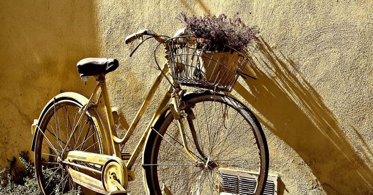
On your Bike: La Tardière to Mouilleron-en-Pareds
Lovely trails edged with bluebells and wild hyacinth in spring, small chapels, ancient windmills, and old customs... see how just 12km (7.5mi) of cycling through three Vendéen villages can WOW your sense of adventure.
Superb cycling – whether you live in the area or you're on holiday, with a love of nature, history, physical activity, and adventure, this cycling route in the Vendée is a perfect way to spend a day or two. Two of the sites in this article are perfect for mountain biking in every season. Cycling time between the locations in this article is just 46 minutes, over a distance of 12km.
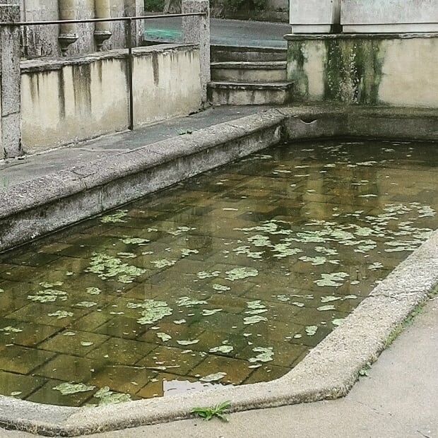
A dash of mystery for any age group – Don't love cycling? No worries! These sightseeing spots in the Vendée have ample (free) parking, offer many kilometers of marked walking paths, benches, picnic tables, and other nearby activities. And who doesn't love a little mystery? Have you ever heard of a village where people still gather to wash their laundry in a pond as they have for hundreds of years? Or a found a lake inside of a gigantic rock? Discovered a centuries-old chapel at the end of a shadowed path in a picturesque valley you might have passed a hundred times before?
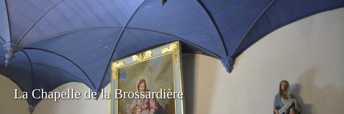
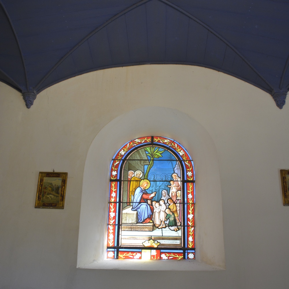
Sinister history in a well-hidden chapel
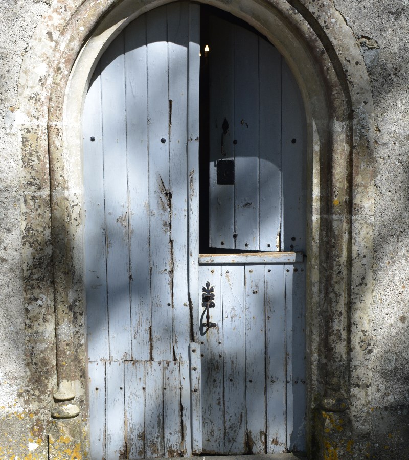
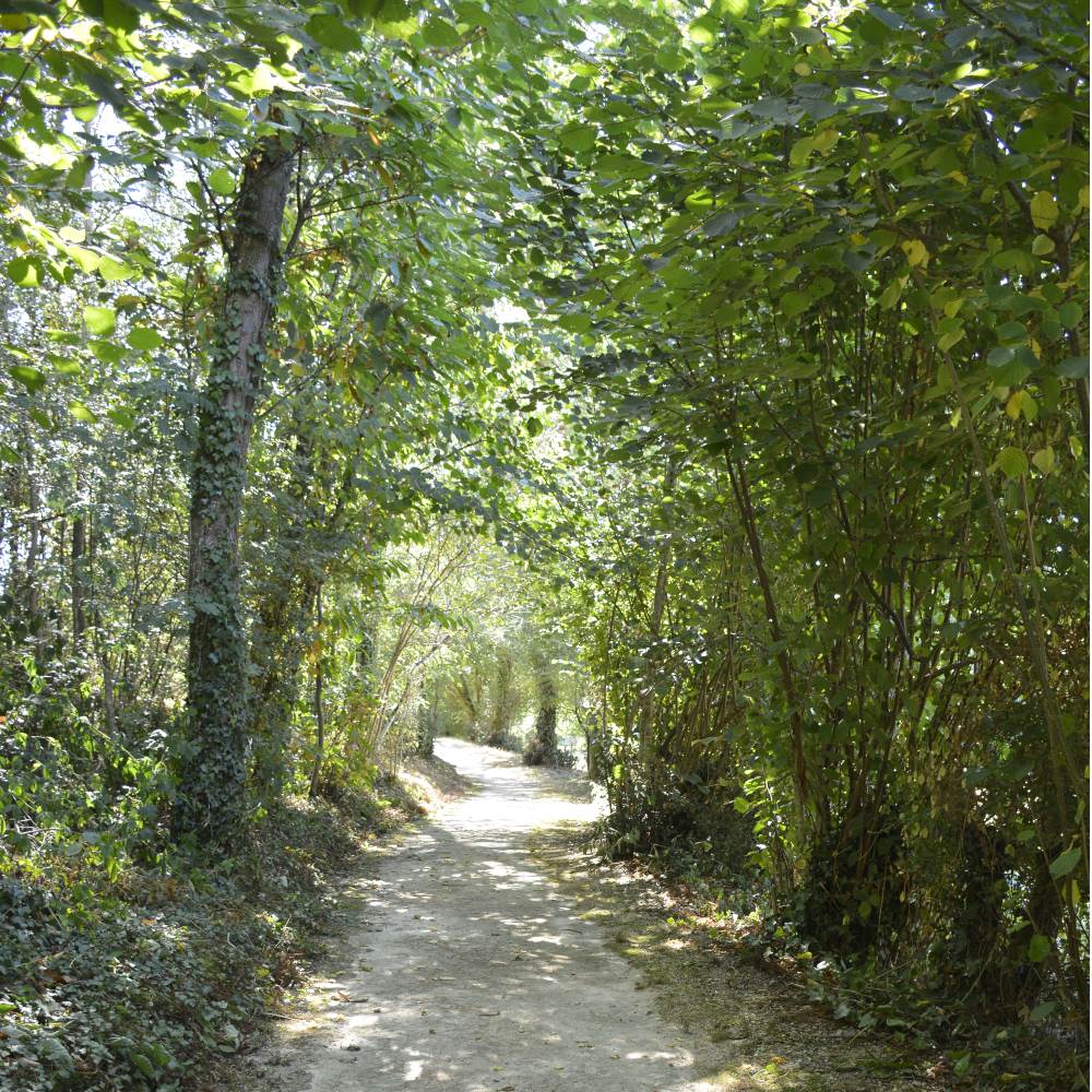
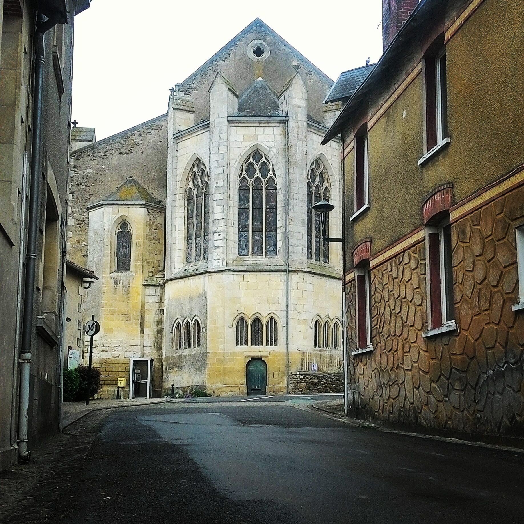
In a small valley just outside the village of La Tardière, lies a small chapel called Our Lady of Brossardière. On 3rd August 1595-near the end of the Wars of Religion- thirty-one protestants were massacred in a barn used for prayer and worship. The chapel was built some years after in devotion to Our Lady of Recouvrance (recovery.) There is an annual pilgrimage on August 15th, the Catholic holiday of the Assumption of the Virgin Mary. People often ring the chapel's bell when visiting.
Open – Year-round
Tip – the chapel's location is practically unmarked, but for a very small sign
Address – La Brossardière, 85120 La Tardière
GPS coordinates – to the village
46°39′41″N 0°43′56″W
Nearby Sightseeing – Base de l'Etruyère (swimming, horse riding and other activities), Vouvant (medieval village), grocery stores in neighbouring La Châtaigneraie
Images – by webservices.dramatis
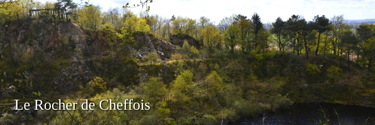
Mining structures are still in place at this lovely old quarry. Beginning in 1903 a workforce of Czech, Italian, Polish, Russian and Spanish "jewellers" lived on-site, hewing quartzite from the rock by hand for roads and railways. The mine was closed in 1953. The lake offers a spot of coolness and reflection. Walking trails around the rock of Cheffois are extensive and sometimes strenuous, but the panoramic vistas and views of the quarry, are beautiful.
In centuries past, this location was referred to as 'the mountain', a place for religious practices. An earlier version of the chapel by the edge of the lake was removed ca. 1921, but La Chapelle de la Montagne was restored by volunteers between 2006- 2008.
Open – all year
Tip – Swimming is strictly prohibited, as is the walking trail next to the lake. Fines are issued when caught. Keep children close when walking the trails atop the quarry lake.
Address – 85390 Cheffois
GPS coordinates – 46°40′10″N 0°47′24″W
Nearby Sightseeing – Ripaud, a plant nursery spanning the hills between Mouilleron-en-Pareds, Cheffois and La Tardière, is mentioned in travel books as a great place for a walk- likened to a botanic garden. We think it might belong to the famed Dr. Suess or Alice in Wonderland.
Dog walking – great
Images – by webservices.dramatis


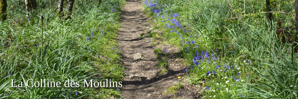
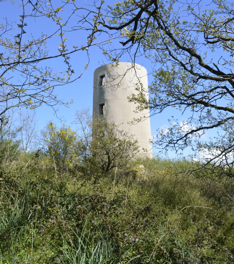
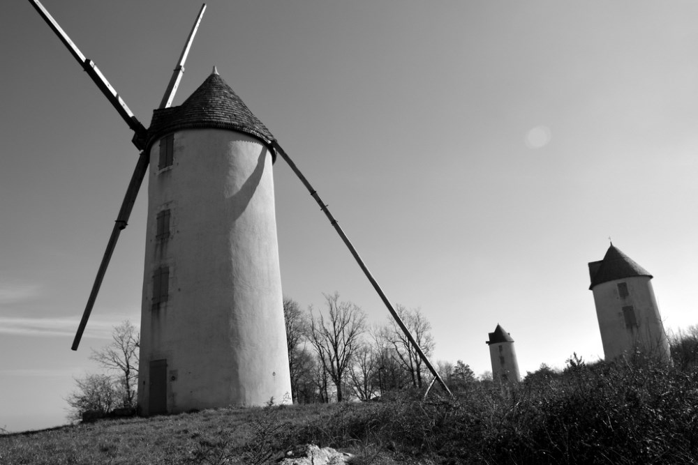
Discover historic windmills on a beautiful hill outside of Moilleron-en-Pareds. Across a nature area spanning ca. 90 ha, admire the abundance of wildflowers and pause for panoramic views of the lower bocage (farmland.). To the north lie Pouzauges and St-Michel-Mont-Mercure, to the east Cheffois, and to the south, the Forest of Mervent. A text written anno 1438, attests to the presence of windmills on the hill. They were burned during the Vendée war and later rebuilt. In 1852, there were about fourteen, one of the largest concentrations of windmills in the Vendée.
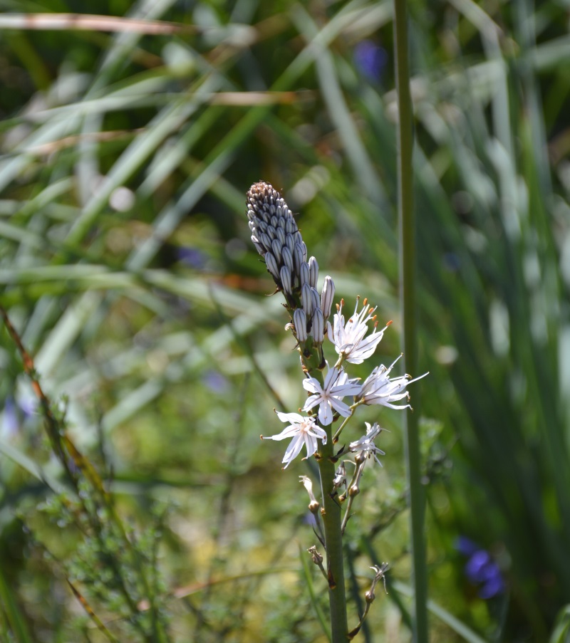
Narrow walking trails lead along eight partially or wholly restored windmills, and war memorials. This beautiful hill is not only of historical significance, it is also a classified ecological area (fauna and flora.) Enthusiasts will find delicate flora, including the rare and protected Bastard's Silenus (Silenus vulgaris Bor. ssp. maritima var Bastardii)
Open – Open all year, walking -and mountain biking trails, or cycle along the narrow winding road running along the hilltop. Beware of cars.
Tip – Mid-April to Mid-May for the bluebells. Blackberries in August. Chestnuts in the fall.
GPS coordinates – for Mouilleron-en-Pareds 46°40′36″N 0°51′00″W
Nearby sightseeing – Le Rocher de Cheffois, Mouilleron-en-Pareds, Ripaud tree farm, museums
Dog walking – great, but beware of hunters in fall thru early spring
Image credits by webservices.dramatis
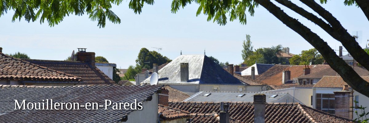
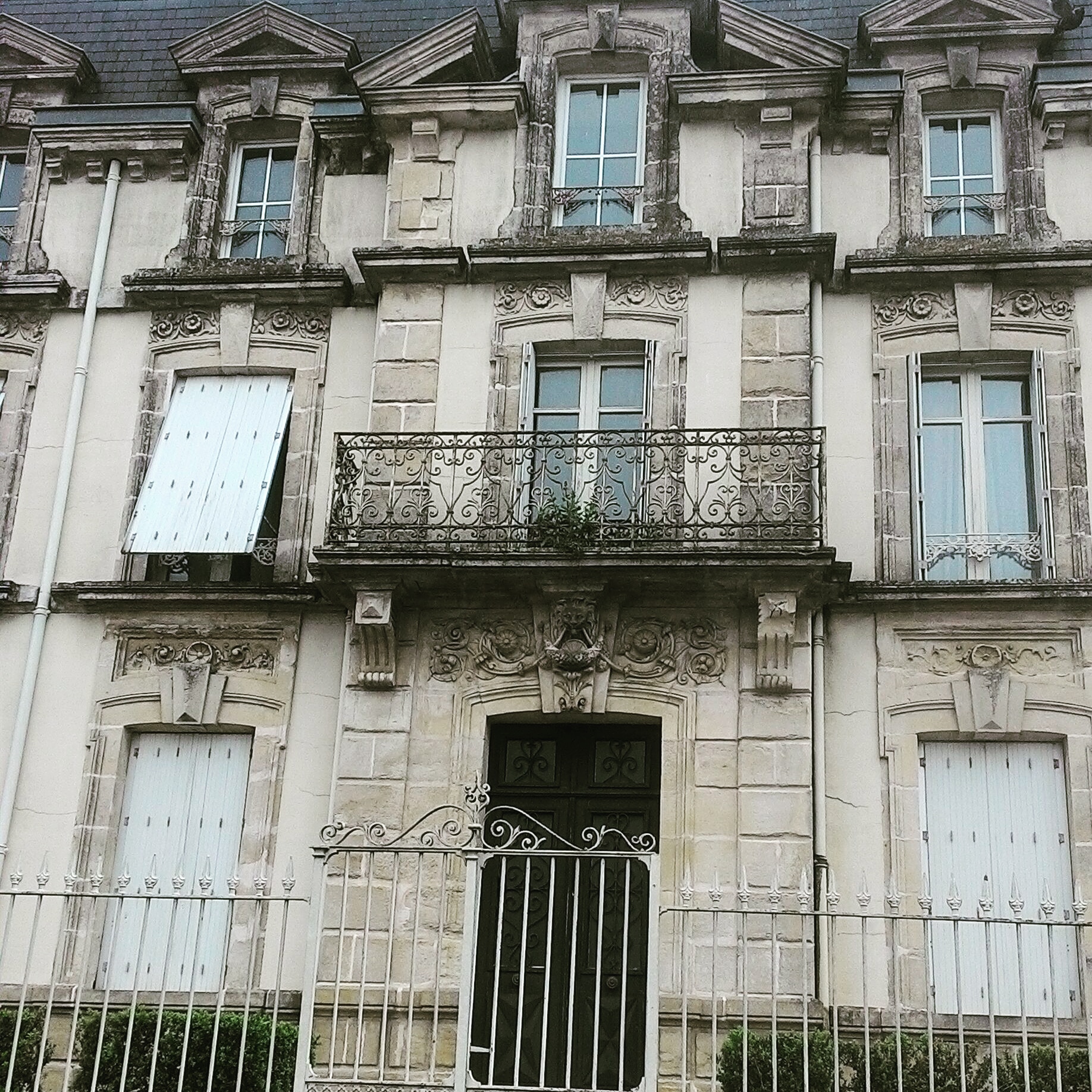
Quaint and quirky history packed into a small village
This small village off the D949bis, Mouilleron-en-Pareds, is known for its 'mills on the hill' as well as its three famous local boys: Charles-Louis Largeteau (1791–1857), astronomer and physicist who helped to establish the Greenwich Meridien; Général de Lattre de Tassigny (1889-1952) who headed the French First Army in liberation of France together with the Allied forces in 1945; and Georges Clémenceau (1841-1929), Président of France in WWI and signer of the Treaty of Versailles. The village has two museums dedicated to these wartime heroes and friends who were also key figures in the savior and restoration of the windmills. Follow the Sentier des Meuniers, the 7km ancient millers path from the old lavoir (washing place) up the hill towards the chateau (privately owned) and to the left. This centuries-old Sentier des Meuniers meets with the Chemin des Chontaignes, a 42-kilometer marked trail through Pays de la Châtaigneraie. Trails are well-marked.
Address – Mouilleron-en-Pareds (Mouilleron-St-Germain)
GPS coordinates – 46°40′36″N 0°51′00″W
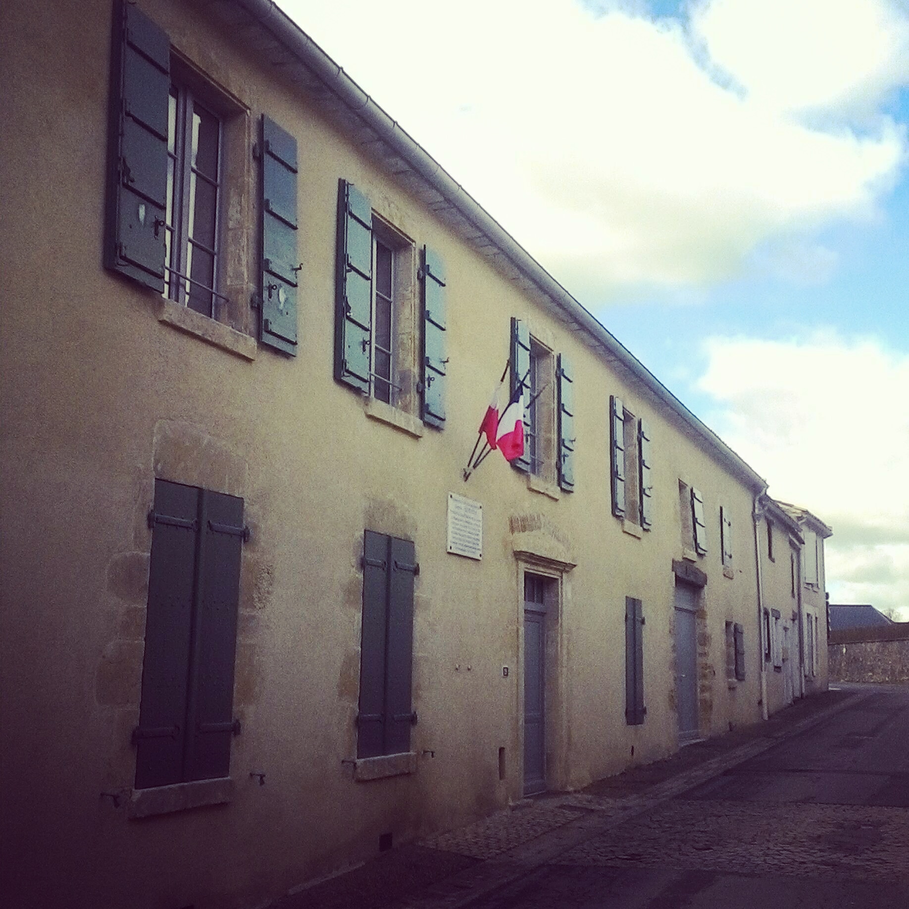
Nearby sightseeing – Musee Maison Clemenceau (Opened by President Macron in June 2018-see image below) Musee Clemenceau-de Lattre, La Colline des Moulins (see above)
Village départ Tour de France 2018 (8 July)
Images – by webservices.dramatis

This itinerary in the Vendée is as easy or strenuous as you'd like
Located right between the higher and lower bocage in the Vendée, the sightseeing locations in this article stretch over just twelve kilometers. Each offers great sightseeing and even a little dash of intrigue. Great opportunities for photographers, botanists, and families. Le Rocher de Cheffois and La Colline des Moulins are excellent spots for easy or strenuous hiking or mountain-biking, each hill offering dozens of kilometres of nature trails, and linking to more. Enjoy!
Share this Post